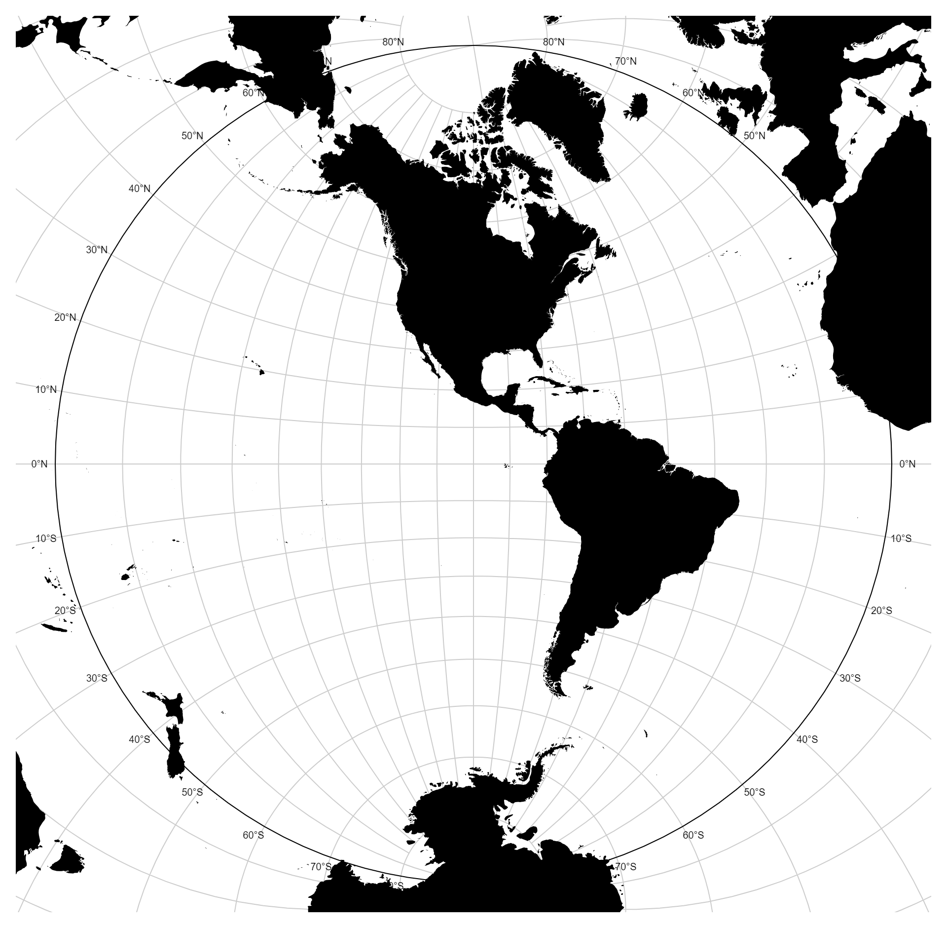
Graticule Lables (Stereographic )
Original price was: $ 15.$ 10Current price is: $ 10.
Description
In graticule labels, particularly in stereographic projections, refer to the grid lines and associated labels that help in understanding and interpreting geographic or spatial data. In stereographic projections, the graticule represents lines of latitude and longitude projected onto a two-dimensional plane, providing a framework for positioning and orienting spatial data. Graticule labels serve the essential function of providing geographic context and aiding in spatial navigation. These labels typically include degrees of latitude and longitude, allowing viewers to pinpoint specific locations on the map and understand their relative positions. Additionally, these labels enhance the visual appeal of the chart, providing a polished and professional appearance.
Uses:
- Geographic Reference: Graticule labels serve as a geographic reference, helping viewers identify specific locations on the map.
- Spatial Navigation: They aid in spatial navigation by providing coordinates (latitude and longitude) for orienting oneself within the map.
- Data Interpretation: Graticule labels assist in the interpretation of spatial data by providing context and geographical coordinates for data points.
- Map Annotation: They are used to annotate maps with geographical information, making them more informative and easier to understand.
- Geographic Analysis: Graticule labels facilitate geographic analysis by allowing viewers to analyze spatial patterns and relationships between data points.
- Map Exploration: They enhance the experience of exploring maps by providing reference points for understanding spatial relationships.
- Educational Tool: Graticule labels are valuable for educational purposes, helping students learn about geography and spatial relationships.
- Cartographic Design: They contribute to the design of visually appealing maps by providing a structured grid system with labeled coordinates.
- Geolocation Services: Graticule labels support geolocation services by providing accurate coordinates for mapping and navigation applications.
- Coordinate Identification: Graticule labels help users identify coordinates for specific locations, facilitating data entry and geocoding processes.
Purposes:
- Spatial Context: The purpose of graticule labels is to provide spatial context, enabling viewers to understand the geographical context of mapped data.
- Data Visualization: They serve as an integral part of data visualization, helping to visualize spatial data in a meaningful way.
- Cartographic Representation: Graticule labels contribute to the cartographic representation of geographic data, providing a standardized grid system for mapping.
- Map Navigation: Graticule labels support map navigation by providing reference points for orienting and navigating within the map.
- Geographic Information Systems (GIS): They are essential for GIS applications, providing a framework for spatial analysis and visualization.
- Geographic Reference Systems: Graticule labels establish geographic reference systems, allowing users to interpret spatial data accurately.
- Spatial Analysis: Graticule labels facilitate spatial analysis by providing a grid system for measuring distances, areas, and other spatial relationships.
- Geographic Communication: They aid in the communication of geographic information by providing standardized coordinates for mapping and navigation.
- Geographic Research: Graticule labels support geographic research by providing a framework for spatial analysis and interpretation.
- Geospatial Data Management: They are essential for managing geospatial data, providing a standardized grid system for organizing and referencing geographic information.
Only logged in customers who have purchased this product may leave a review.
Related products
-
- Sale!
Hexbin
- Original price was: $ 15.$ 10Current price is: $ 10.
- Add to cart
-
- Sale!
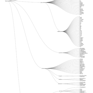
Clustre Dendogram
- Original price was: $ 15.$ 10Current price is: $ 10.
- Add to cart
-
- Sale!
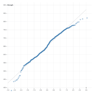
Normal Quantile Plot
- Original price was: $ 15.$ 10Current price is: $ 10.
- Add to cart
Reviews
There are no reviews yet.