Sale!

Web mercator tiles

Original price was: $ 15.Current price is: $ 10.

Description

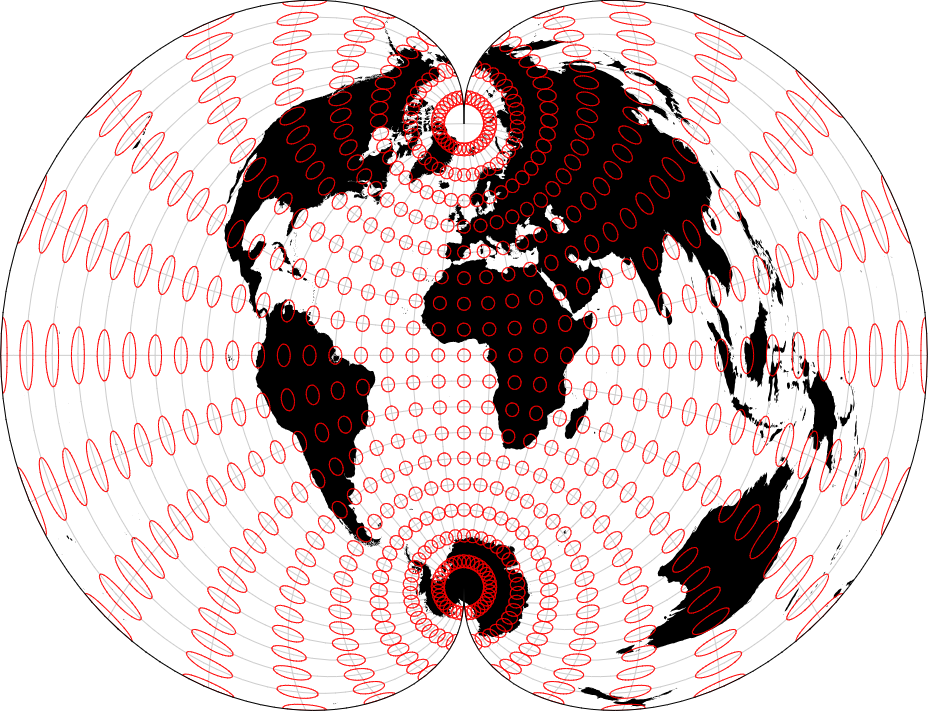
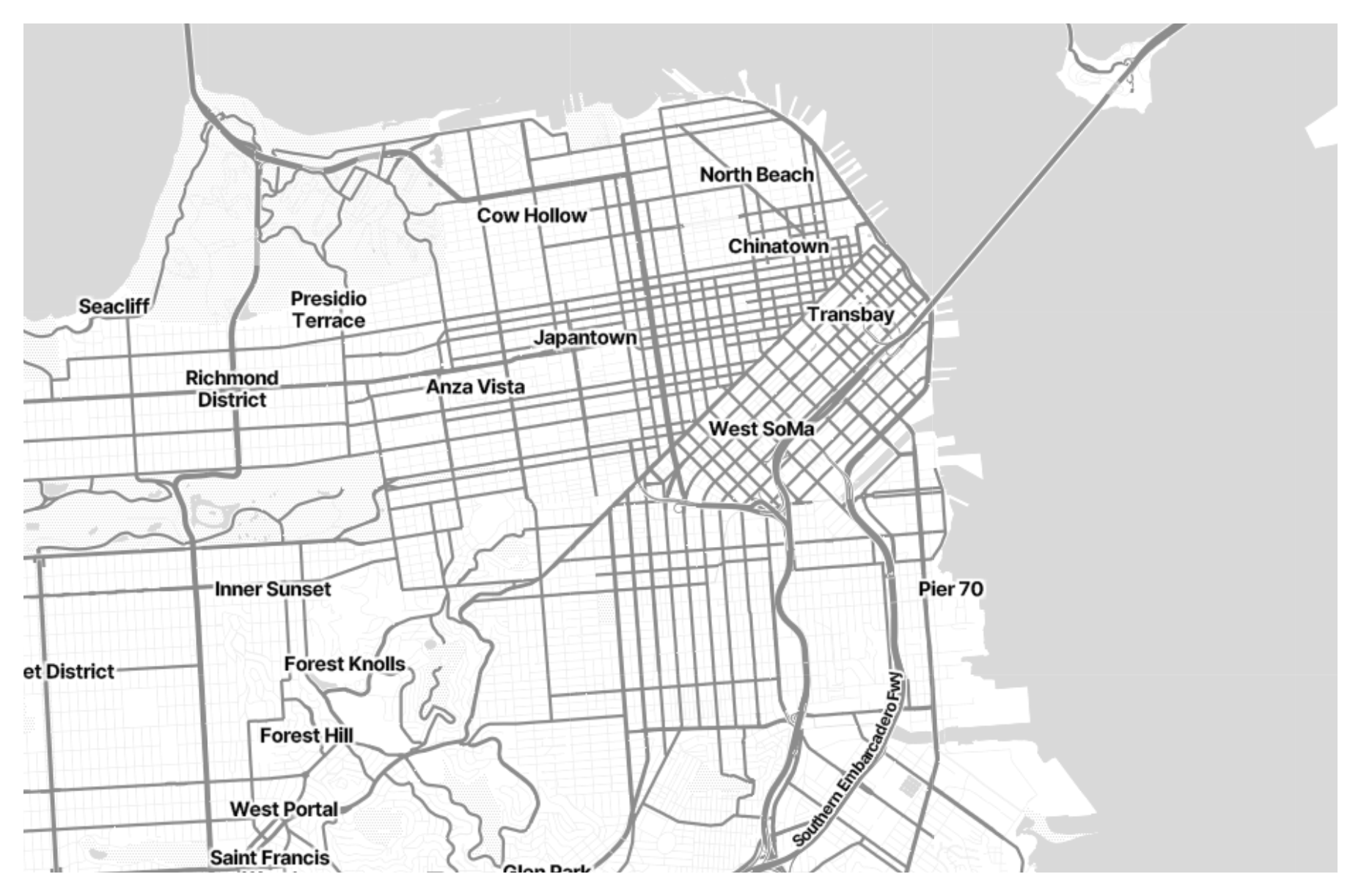
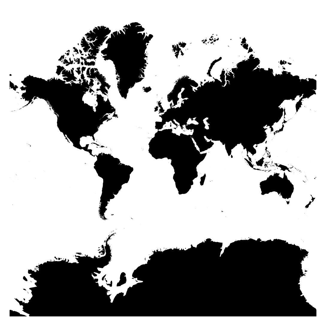
Web Mercator tiles refer to a tiling scheme used in web mapping applications, particularly those based on platforms like Google Maps and OpenStreetMap. These tiles are square-shaped images that cover the Earth’s surface and are arranged in a pyramid-like structure, with each zoom level containing a different set of tiles at varying resolutions. The Web Mercator projection, based on the Mercator projection, is commonly used for these tiles due to its ability to represent the Earth as a flat surface, making it suitable for web mapping applications. These tiles are used to efficiently display maps at different zoom levels and allow users to navigate and interact with geographical data seamlessly on the web.


Purposes :

  1. Fast Rendering: Web Mercator tiles allow for rapid rendering of maps in web applications. By dividing large map areas into smaller, pre-rendered tiles, web mapping services can serve maps to users quickly, enhancing user experience and responsiveness.
  2. Optimized Performance: Pre-rendered tiles reduce the computational load on servers and clients. By caching tiles and serving them to users as needed, web mapping applications can optimize performance, ensuring smooth map interactions even in high-traffic scenarios.
  3. Seamless Integration: Web Mercator tiles are widely supported by popular web mapping libraries and platforms such as Google Maps, OpenStreetMap, Leaflet, and Mapbox. Their widespread adoption facilitates seamless integration into web applications, enabling developers to easily incorporate maps into their projects.
  4. Scalability: The tile-based approach of Web Mercator allows for scalable map rendering across different zoom levels. As users zoom in or out, the web mapping application dynamically loads and displays the appropriate tiles, providing detailed map views at various scales.
  5. Consistency: Web Mercator tiles ensure consistency in map rendering across different web mapping services and applications. By adhering to a standardized tiling scheme and projection, maps from different providers maintain visual coherence and familiarity for users.
  6. Support for Interactivity: Web Mercator tiles support interactive features such as panning, zooming, and overlaying additional data layers. These interactive capabilities enhance user engagement and enable dynamic exploration of geographic information on web maps.
  7. Uses :
             
    1. Online Mapping Services: Web Mercator is the default projection used by popular online mapping services such as Google Maps, Bing Maps, and OpenStreetMap. These platforms provide interactive maps that users can pan, zoom, and search for locations, making them valuable tools for navigation, trip planning, and location-based services.
    2. Mobile Mapping Applications: Many mobile mapping applications for smartphones and tablets, including navigation apps, location-based services, and outdoor recreation apps, use the Web Mercator projection. This projection allows users to access maps on their mobile devices with smooth interactions and responsive performance.
    3. Web Mapping Libraries: Web mapping libraries such as Leaflet, OpenLayers, and Mapbox GL JS support the Web Mercator projection, allowing developers to create custom interactive maps for web applications. These libraries provide tools and APIs for displaying maps, adding markers and overlays, and integrating with geospatial data services.
    4. Geographic Information Systems (GIS): Web Mercator is often used in web-based GIS applications for visualizing and analyzing spatial data. These applications allow users to explore geographic datasets, perform geospatial analysis, and create interactive maps for data visualization and decision-making.
    5. Data Visualization: Web Mercator maps are commonly used for data visualization on the web. They provide a familiar and intuitive interface for displaying geographic data, such as population density, weather patterns, transportation networks, and business locations, allowing users to explore and interact with the data in a spatial context.
    6. Social Media and Location Sharing: Many social media platforms and location-based services use Web Mercator maps to display user-generated content, check-ins, and location tags. This allows users to share their location with friends and followers and discover nearby points of interest.
    7. E-commerce and Business Services: E-commerce websites and business services often incorporate Web Mercator maps to display store locations, delivery areas, service coverage, and other geographic information. These maps help users find nearby stores, plan routes for deliveries or service calls, and make informed decisions based on location.
    8. Educational and Research Applications: Web Mercator maps are used in educational settings and research projects to visualize geographic data, teach cartographic principles, and explore spatial relationships. They provide an accessible platform for studying geography, environmental science, urban planning, and other disciplines.


Reviews

There are no reviews yet.

Only logged in customers who have purchased this product may leave a review.