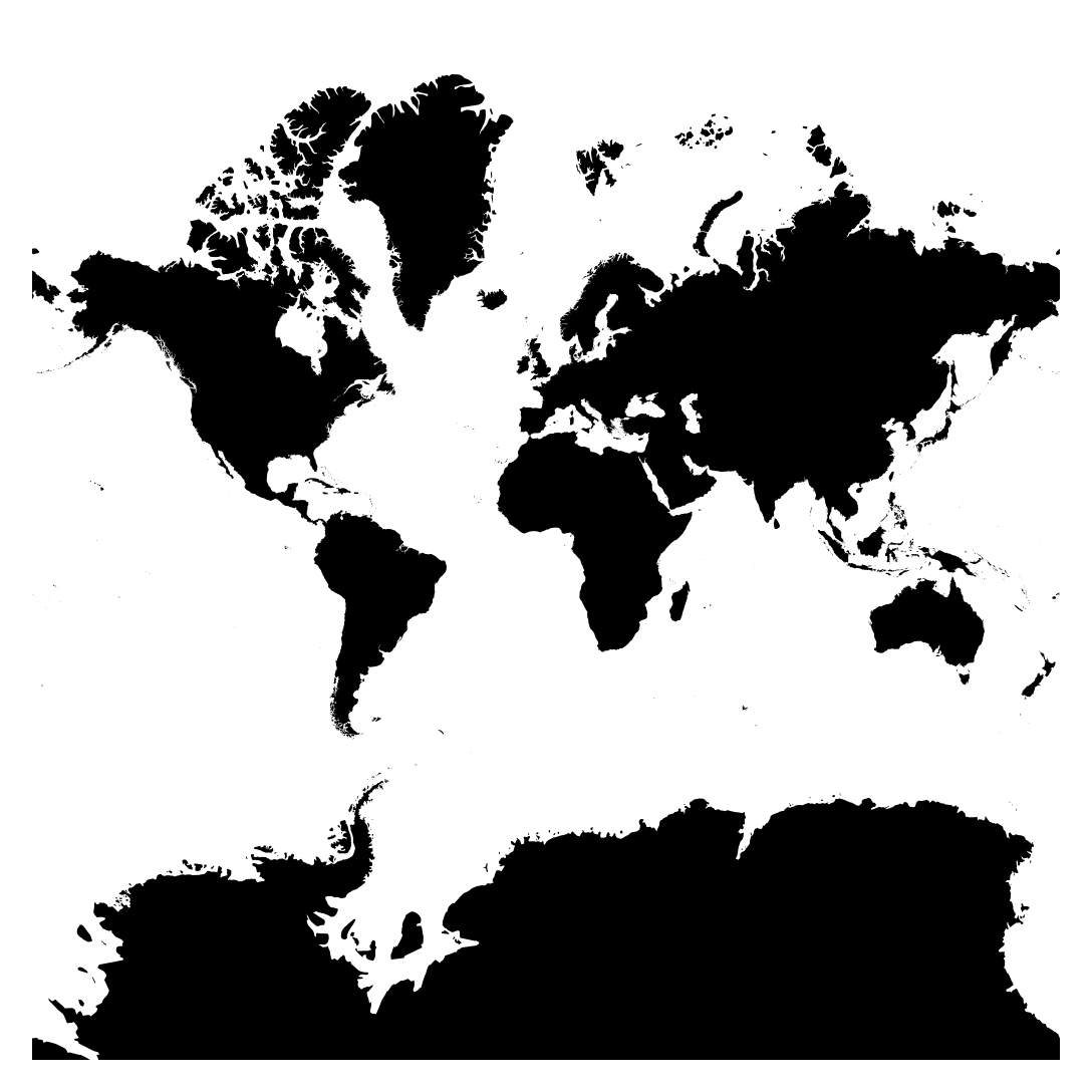
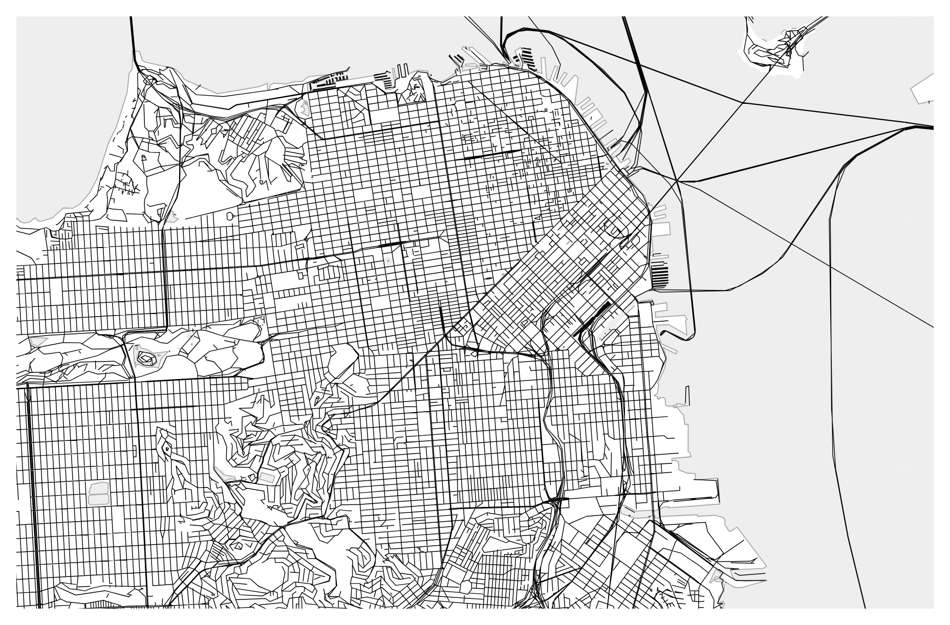
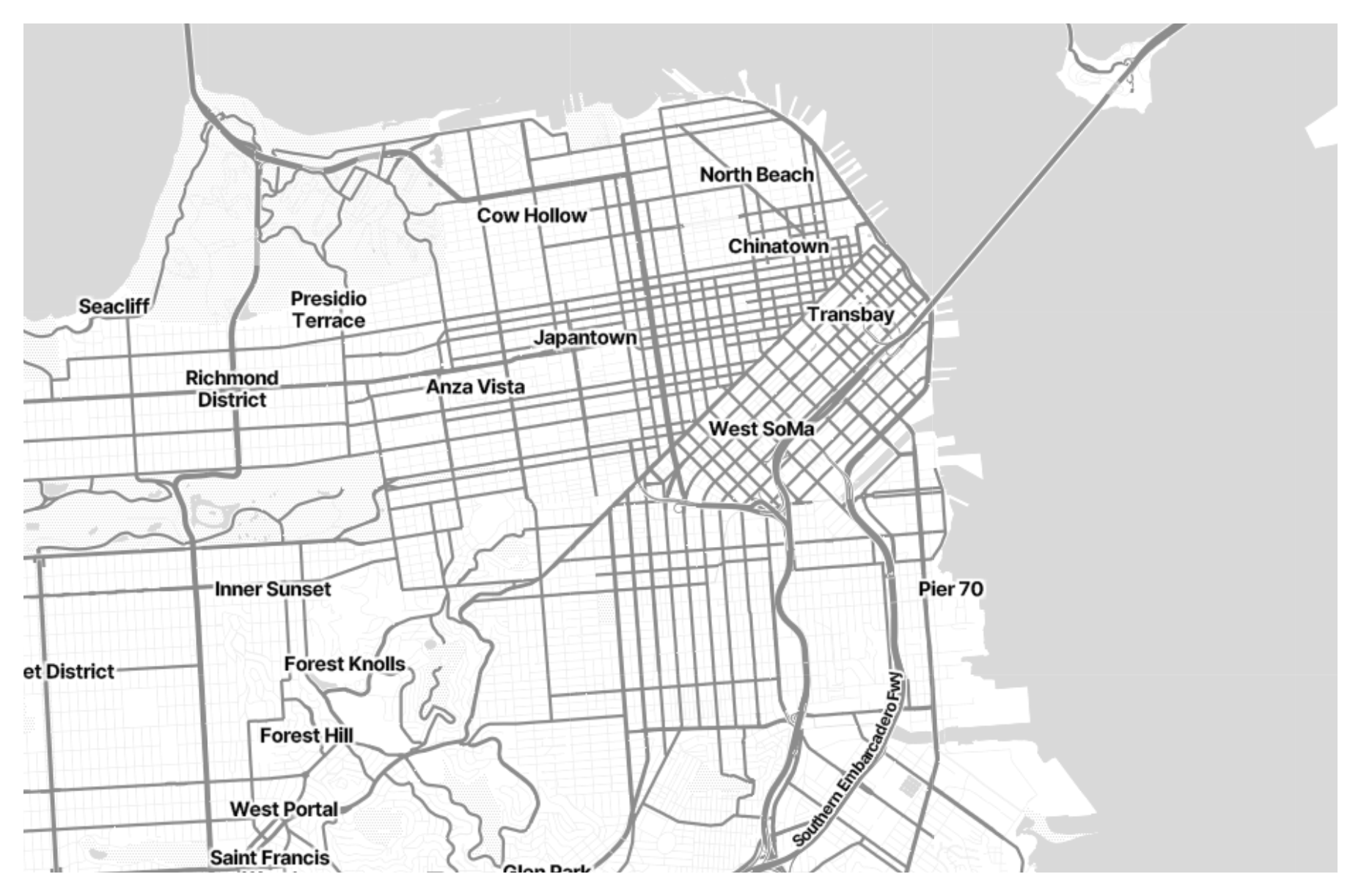
Raster tiles are a common method used in digital mapping to display geographic data on web-based mapping platforms. These tiles consist of small, square-shaped images that cover the Earth’s surface and are arranged in a grid-like pattern. Each tile represents a specific geographic area at a particular zoom level and resolution. Raster tiles are widely used because they allow for fast and efficient rendering of maps in web browsers, enabling users to interactively explore geographical data with smooth navigation and seamless zooming. They are particularly useful for displaying large datasets and complex map layers, such as satellite imagery, terrain maps, and thematic overlays.
Purposes :
Improved Performance: Raster tiles enhance the performance of web mapping applications by breaking down large map datasets into smaller, pre-rendered tiles. This allows for faster loading times and smoother navigation, especially when dealing with complex or high-resolution maps.
Scalability: Raster tiles facilitate scalable map rendering across different zoom levels. As users zoom in or out, the web mapping application dynamically loads and displays the appropriate tiles, ensuring that map details are visible at all scales without sacrificing performance.
Seamless Integration: Raster tiles seamlessly integrate with popular web mapping libraries and platforms, making it easy for developers to incorporate maps into their web applications. These tiles are compatible with APIs and tools provided by mapping services like Google Maps, OpenStreetMap, and Mapbox.
Customization and Styling: Raster tiles can be customized and styled to meet the specific needs of web mapping applications. Developers can modify tile appearance, add overlays, and apply thematic styling to enhance map visualization and convey information effectively.
Offline Usage: Pre-rendered raster tiles can be cached and stored locally on devices, allowing users to access maps even without an internet connection. This offline capability is valuable for fieldwork, outdoor activities, and areas with limited or unreliable connectivity.
Interactivity: Raster tiles support interactive features such as panning, zooming, and overlaying additional data layers. These interactive capabilities enable users to explore and analyze geographic information on web maps, enhancing user engagement and understanding.
Data Visualization: Raster tiles are used to visualize various types of spatial data, including satellite imagery, aerial photography, topographic maps, and thematic layers. By displaying raster data in tiled format, web mapping applications can present large and complex datasets in a clear and understandable manner.
Spatial Analysis: Raster tiles can be used for spatial analysis and decision-making in GIS applications. By overlaying raster tiles with vector data layers, users can perform tasks such as identifying patterns, measuring distances, and assessing spatial relationships, supporting informed decision-making processes.
Cross-Platform Compatibility: Raster tiles are compatible with a wide range of devices and platforms, including desktop computers, smartphones, and tablets. This cross-platform compatibility ensures that users can access and interact with maps seamlessly across different devices and operating systems.
Uses :
Reviews
There are no reviews yet.
Only logged in customers who have purchased this product may leave a review.

Reviews
There are no reviews yet.