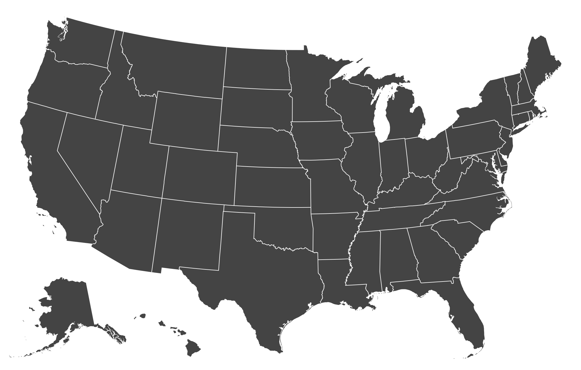
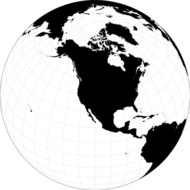
Orthographic to equirectangular projection conversion is a technique used in cartography and digital mapping to transform geographic data from one projection type to another. In this process, data originally represented in an orthographic projection, where the Earth’s surface is projected onto a flat plane from an infinite distance, is converted into an equirectangular projection, also known as a plate carrée projection, where meridians and parallels are mapped as straight lines that intersect at right angles. This conversion allows for easier manipulation and analysis of geographic data, as the equirectangular projection is simpler and more commonly used in various mapping applications and geographic information systems (GIS).
Uses:
- Cartographic Visualization: Convert orthographic projections to equirectangular for cartographic visualization, as the latter is commonly used in mapmaking and GIS applications.
- Data Integration: Integrate geographic data represented in orthographic projections with datasets in equirectangular projections for comprehensive analysis and visualization.
- Satellite Imagery: Transform satellite imagery from orthographic to equirectangular projection for use in geographic analysis, remote sensing, and earth observation applications.
- Geographic Analysis: Convert orthographic projections to equirectangular for geographic analysis, such as spatial analysis, terrain modeling, and environmental monitoring.
- Virtual Globes: Prepare data for display in virtual globes and 3D mapping applications that typically use equirectangular projections for rendering.
- Web Mapping: Prepare geographic data for web mapping applications and online mapping services that use equirectangular projections for displaying interactive maps.
- Projection Standardization: Standardize geographic datasets to a common projection format, such as equirectangular, for compatibility and interoperability across different mapping platforms.
- Flight Simulation: Convert orthographic projections to equirectangular for use in flight simulation software and virtual reality applications to represent realistic terrain views.
- Climate Modeling: Prepare geographic data in equirectangular projection for climate modeling, meteorological simulations, and weather forecasting applications.
- Global Visualization: Transform orthographic projections to equirectangular for global visualization and analysis of Earth’s surface features, including landforms, oceans, and atmospheric phenomena.
Purposes:
- Compatibility: Ensure compatibility of geographic data with mapping software, GIS platforms, and visualization tools that support equirectangular projection.
- Visualization: Enable visualization of geographic data in equirectangular projection for improved spatial understanding and interpretation.
- Interoperability: Facilitate interoperability between geographic datasets in different projections by converting them to a common equirectangular format.
- Analysis: Prepare geographic data for spatial analysis, statistical analysis, and modeling by converting them to equirectangular projection.
- Mapping Applications: Support mapping applications, atlas creation, and digital mapping projects that require data in equirectangular projection.
- Research: Provide researchers, scientists, and analysts with access to geographic data in equirectangular projection for conducting studies and research projects.
- Education: Facilitate the use of geographic data in educational materials, textbooks, and online courses by converting them to equirectangular projection for easier comprehension.
- Data Sharing: Simplify the sharing and distribution of geographic datasets by converting them to equirectangular projection, which is widely supported and recognized.
- Visualization Standards: Adhere to visualization standards and conventions by converting geographic data to equirectangular projection, which is commonly used in mapping and GIS.
- Spatial Planning: Assist in spatial planning, urban development, and natural resource management initiatives by providing geographic data in equirectangular projection for decision-making processes.
")
")
Reviews
There are no reviews yet.