Description
Description :
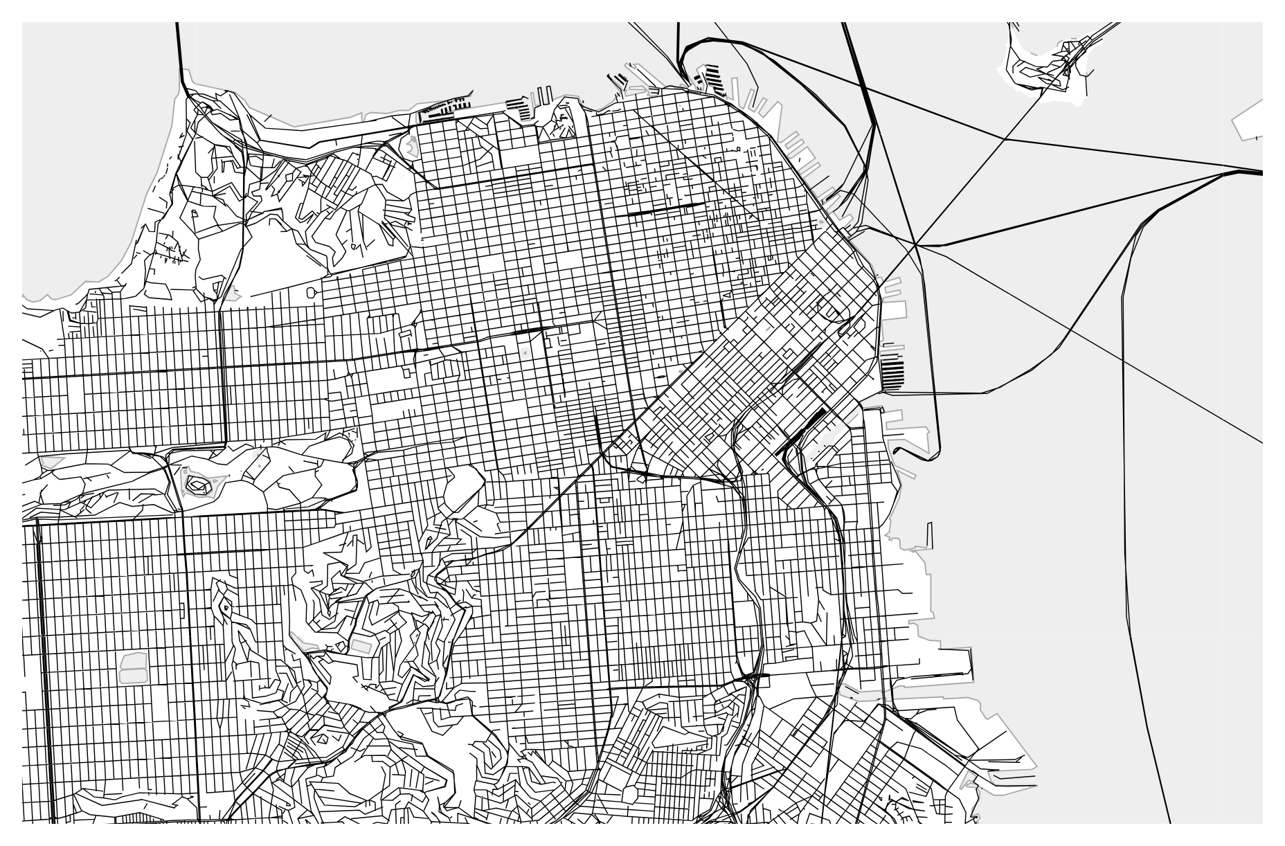
Raster and vector tiles are two fundamental approaches to displaying geographic data in digital maps. Raster tiles are composed of static images, like photographs, and are often used for displaying satellite imagery or scanned maps. On the other hand, vector tiles consist of geometric and attribute data, allowing for dynamic rendering of map features like roads and buildings. While raster tiles are suitable for visualizing detailed imagery, vector tiles offer scalability and interactivity, making them ideal for dynamic map applications on various devices. Together, these tile-based methods enable the creation of comprehensive and responsive digital maps tailored to diverse user needs.
Purpose :
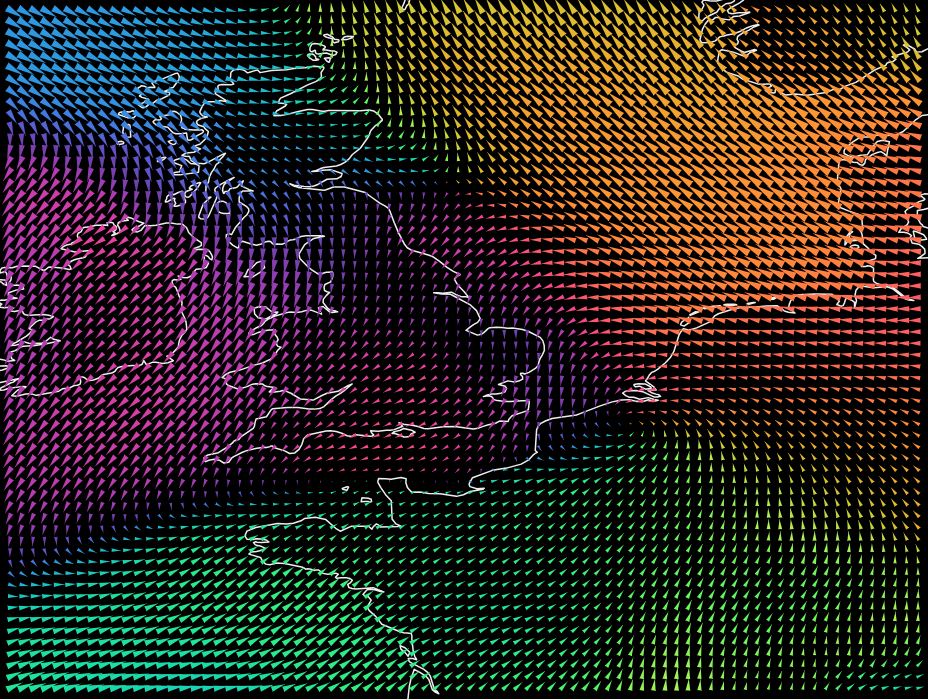
- Representing Continuous Phenomena: Raster data is well-suited for representing continuous phenomena such as elevation, temperature, precipitation, and vegetation cover. It divides geographic space into a grid of regularly spaced cells, with each cell storing a single value or multiple values representing the attribute of interest.
- Remote Sensing and Satellite Imagery: Raster data is commonly used to represent imagery collected from remote sensing platforms such as satellites, aerial cameras, and drones. These images provide valuable information about land cover, land use, and environmental changes over time.
- Terrain Analysis: Raster data is essential for terrain analysis, including slope analysis, aspect analysis, visibility analysis, and hydrological modeling. By analyzing the elevation values stored in raster grids, GIS users can derive topographic features and understand terrain characteristics for various applications such as urban planning, natural resource management, and disaster management.
- Spatial Analysis and Modeling: Raster data supports a wide range of spatial analysis techniques, including interpolation, surface modeling, and spatial statistics. GIS users can perform analyses on raster datasets to identify patterns, trends, and relationships within spatial data, enabling informed decision-making and planning.
- Environmental Modeling: Raster data is used in environmental modeling applications to simulate and predict processes such as climate change, habitat suitability, and ecosystem dynamics. By representing environmental variables in raster format, GIS users can develop models that simulate the behavior of natural systems and assess the potential impacts of human activities.
Purpose of Vector Data:
- Representing Discrete Features: Vector data is well-suited for representing discrete geographic features such as points, lines, and polygons. Each feature is represented as a set of coordinate pairs defining its geometry and may contain additional attributes describing its properties.
- Cartographic Representation: Vector data is commonly used for cartographic representation and map design. It allows cartographers to create detailed and aesthetically pleasing maps by symbolizing and labeling features based on their attributes and spatial relationships.
- Geospatial Analysis: Vector data enables various types of geospatial analysis, including proximity analysis, network analysis, and spatial overlay operations. GIS users can analyze vector datasets to identify spatial patterns, perform spatial queries, and derive new information through spatial analysis techniques.
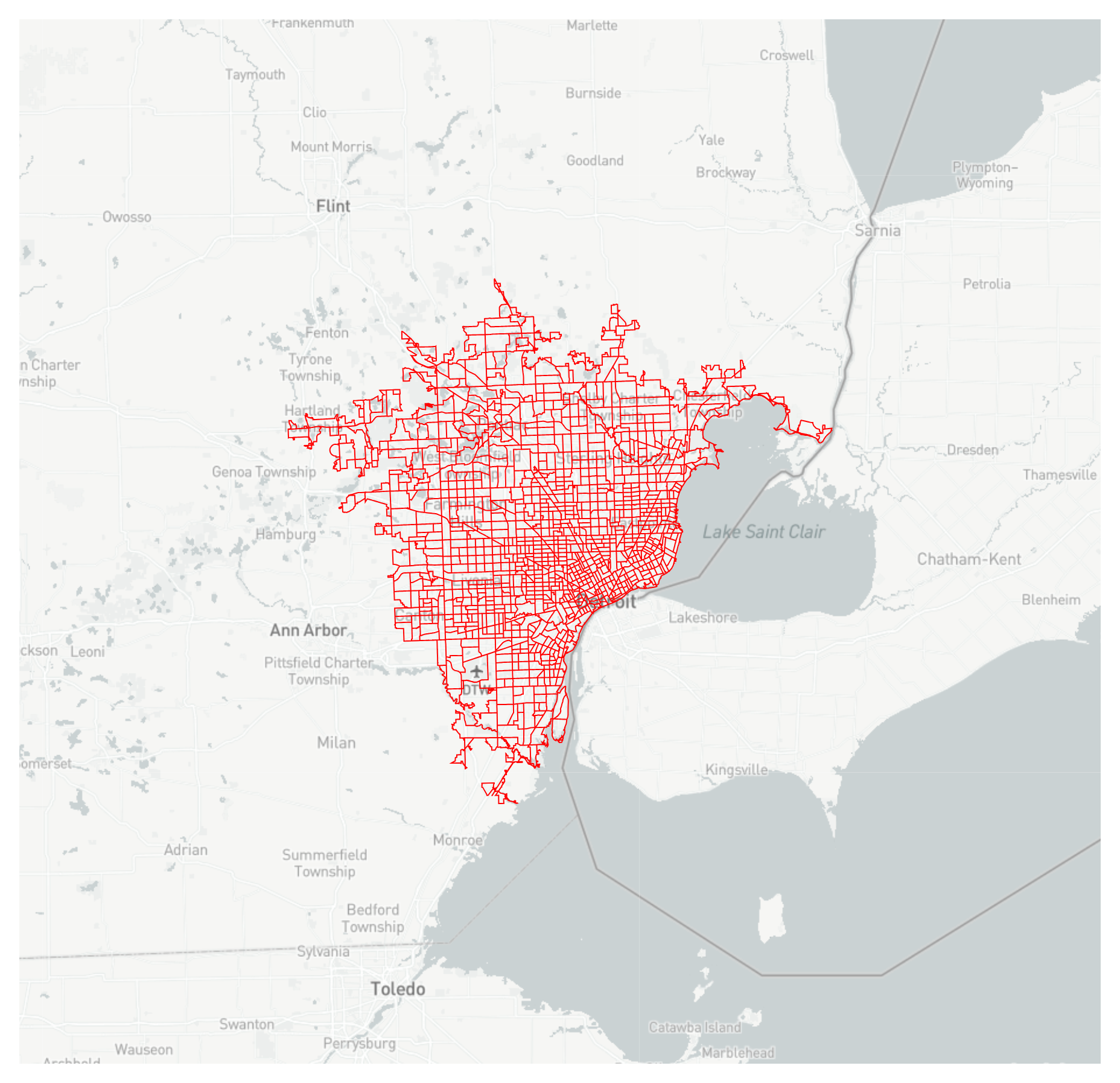
- Infrastructure Management: Vector data is used for managing and analyzing infrastructure networks such as roads, utilities, and transportation networks. By representing infrastructure features as vector data, organizations can plan, monitor, and maintain critical infrastructure assets more effectively.
- Cadastral Mapping: Vector data is commonly used for cadastral mapping, which involves the delineation and management of land parcels and property boundaries. Cadastral maps created using vector data provide valuable information for land administration, land use planning, and property taxation.
- Spatial Data Integration: Vector data facilitates the integration of diverse spatial datasets from different sources and formats. GIS users can overlay and integrate vector datasets to identify spatial relationships, detect spatial patterns, and analyze interactions between geographic features.
Uses :
Uses of Raster Data:
- Satellite Imagery Analysis: Raster data is commonly used for analyzing satellite imagery to monitor changes in land cover, detect vegetation health, assess urban growth, and monitor environmental changes over time.
- Elevation Modeling: Raster elevation data, such as digital elevation models (DEMs), are used for terrain analysis, slope analysis, aspect analysis, viewshed analysis, and hydrological modeling.
- Natural Resource Management: Raster data is used to manage natural resources such as forests, water bodies, and agricultural lands. It helps in monitoring deforestation, soil erosion, habitat fragmentation, and biodiversity conservation.
- Environmental Modeling: Raster data is used in environmental modeling applications to simulate and predict processes such as climate change, habitat suitability, wildfire risk, and flood inundation.
- Remote Sensing: Raster data is crucial for remote sensing applications, including land cover classification, change detection, and environmental monitoring using data from satellites, aerial photographs, LiDAR, and drones.
- Meteorology and Climate Studies: Raster data is used to model weather patterns, analyze climate data, and predict meteorological phenomena such as precipitation, temperature, wind speed, and atmospheric pressure.
- Disaster Management: Raster data helps in disaster management by mapping vulnerable areas, assessing risk, predicting natural hazards such as floods, landslides, and earthquakes, and planning emergency response measures.
Uses of Vector Data:
- Mapping and Cartography: Vector data is used for creating maps and cartographic products, including thematic maps, topographic maps, cadastral maps, and street maps. It provides detailed representations of geographic features such as roads, buildings, land parcels, and administrative boundaries.
- Geospatial Analysis: Vector data supports various types of geospatial analysis, including spatial queries, proximity analysis, spatial overlay operations, network analysis, and spatial statistics.
- Infrastructure Management: Vector data is used to manage and analyze infrastructure networks such as roads, railways, pipelines, electricity grids, and telecommunications networks. It helps in planning, maintenance, and optimization of infrastructure assets.
- Urban Planning and Development: Vector data supports urban planning activities such as land use planning, zoning analysis, transportation planning, and site suitability analysis. It helps in assessing urban growth, analyzing demographic trends, and planning sustainable development.
- Addressing and Location-Based Services: Vector data is used for geocoding addresses, creating address databases, and providing location-based services such as navigation, routing, and spatial search in web mapping applications and GPS devices.
- Cadastral Mapping: Vector data is used for cadastral mapping, which involves delineating land parcels, recording property boundaries, and maintaining land ownership records. It supports land administration, land registration, and property taxation.
- Field Data Collection: Vector data is used in field data collection applications such as mobile GIS and GPS surveying. It helps in capturing spatial data, updating GIS databases, and conducting asset inventories, environmental assessments, and field inspections.
- Transportation Planning and Logistics: Vector data supports transportation planning activities such as route optimization, traffic analysis, vehicle tracking, and fleet management. It helps in improving transportation efficiency, reducing congestion, and optimizing logistics operations.
Only logged in customers who have purchased this product may leave a review.
Related products
-
- Sale!
Hexbin
-
$ 15Original price was: $ 15.$ 10Current price is: $ 10. - Add to cart
-
- Sale!
Cascaded Tree Map
-
$ 15Original price was: $ 15.$ 10Current price is: $ 10. - Add to cart
-
- Sale!
-
$ 15Original price was: $ 15.$ 10Current price is: $ 10. - Add to cart
Reviews
There are no reviews yet.