Sale!
Description
Description :
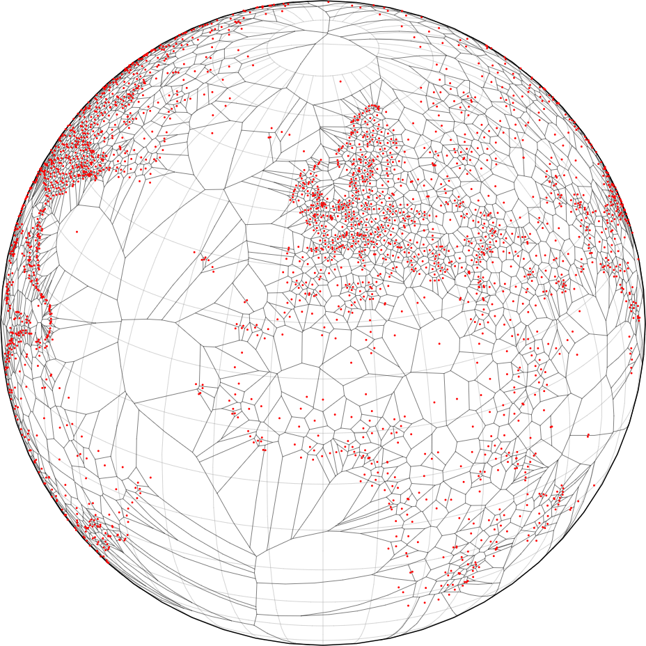
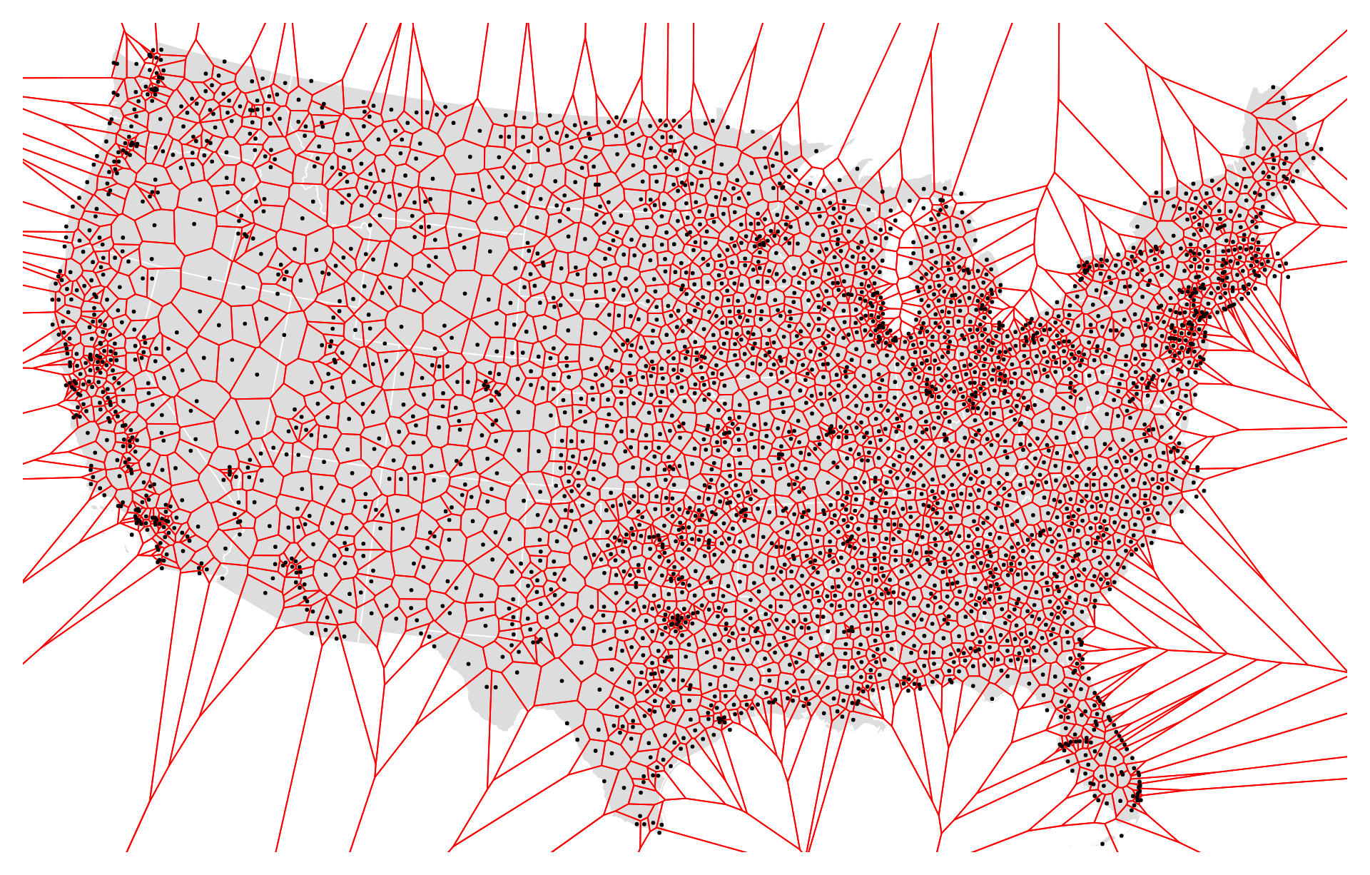
The US airport Voronoi diagram is a spatial representation that divides the United States into regions based on the closest airport to any given point. Named after mathematician Georgy Voronoi, these diagrams partition space into cells, where each cell contains all the points closer to a particular airport than to any other airport. This diagram helps in visualizing the coverage area and proximity of airports across the country, assisting in air traffic management, route planning, and understanding regional air transportation infrastructure.
Purpose :
Uses :
Only logged in customers who have purchased this product may leave a review.

Reviews
There are no reviews yet.