Description
Description :
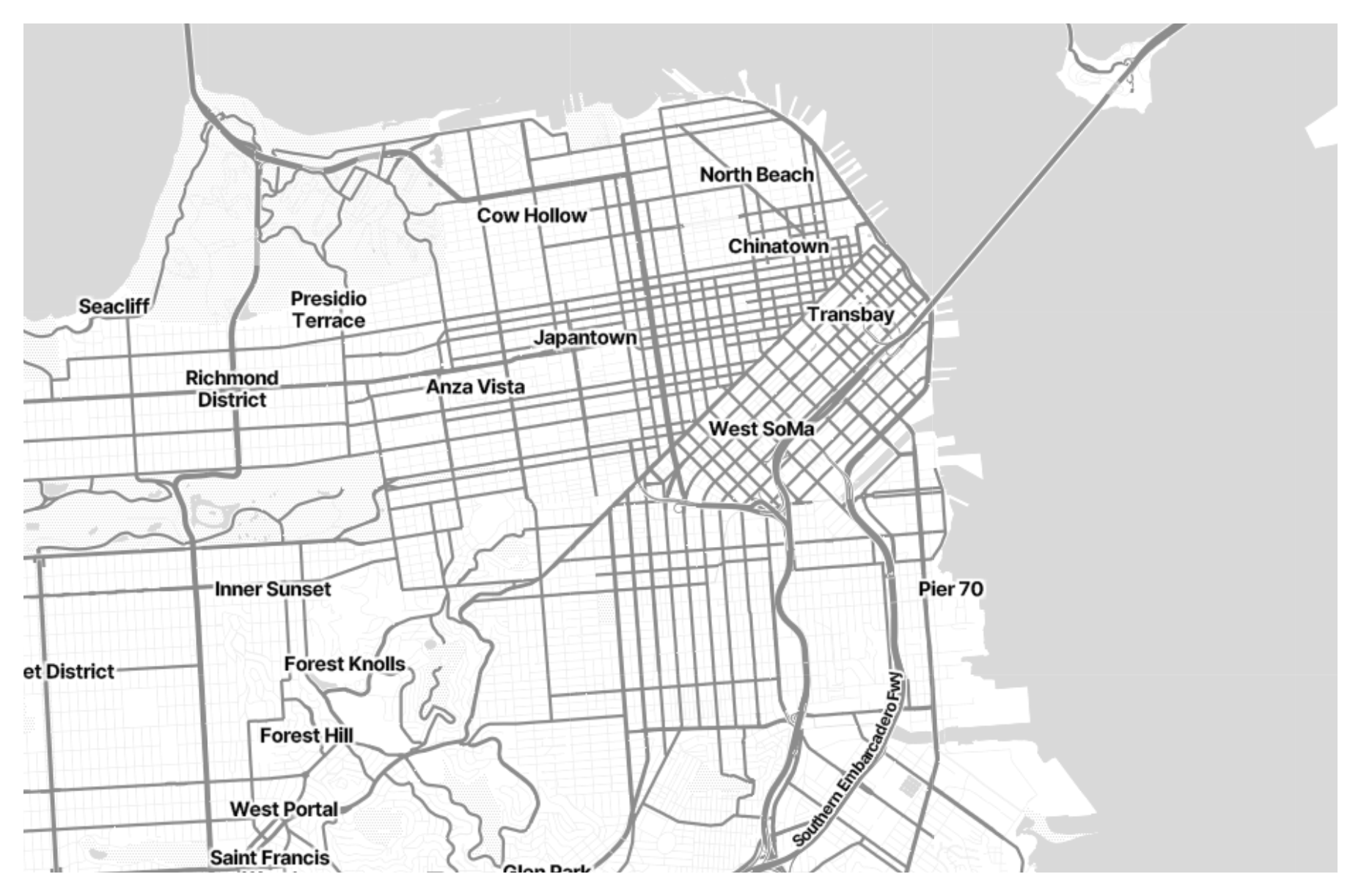
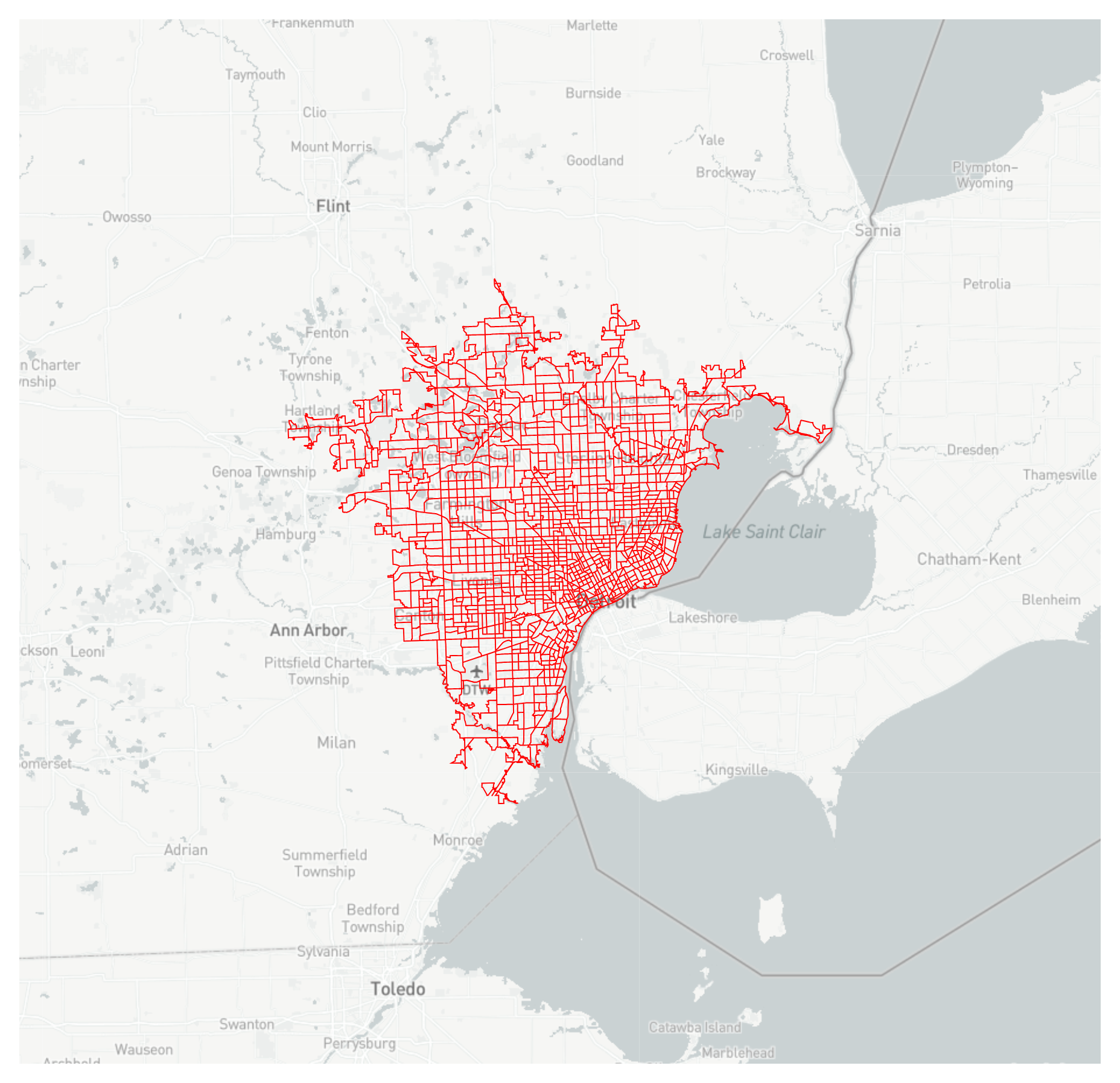
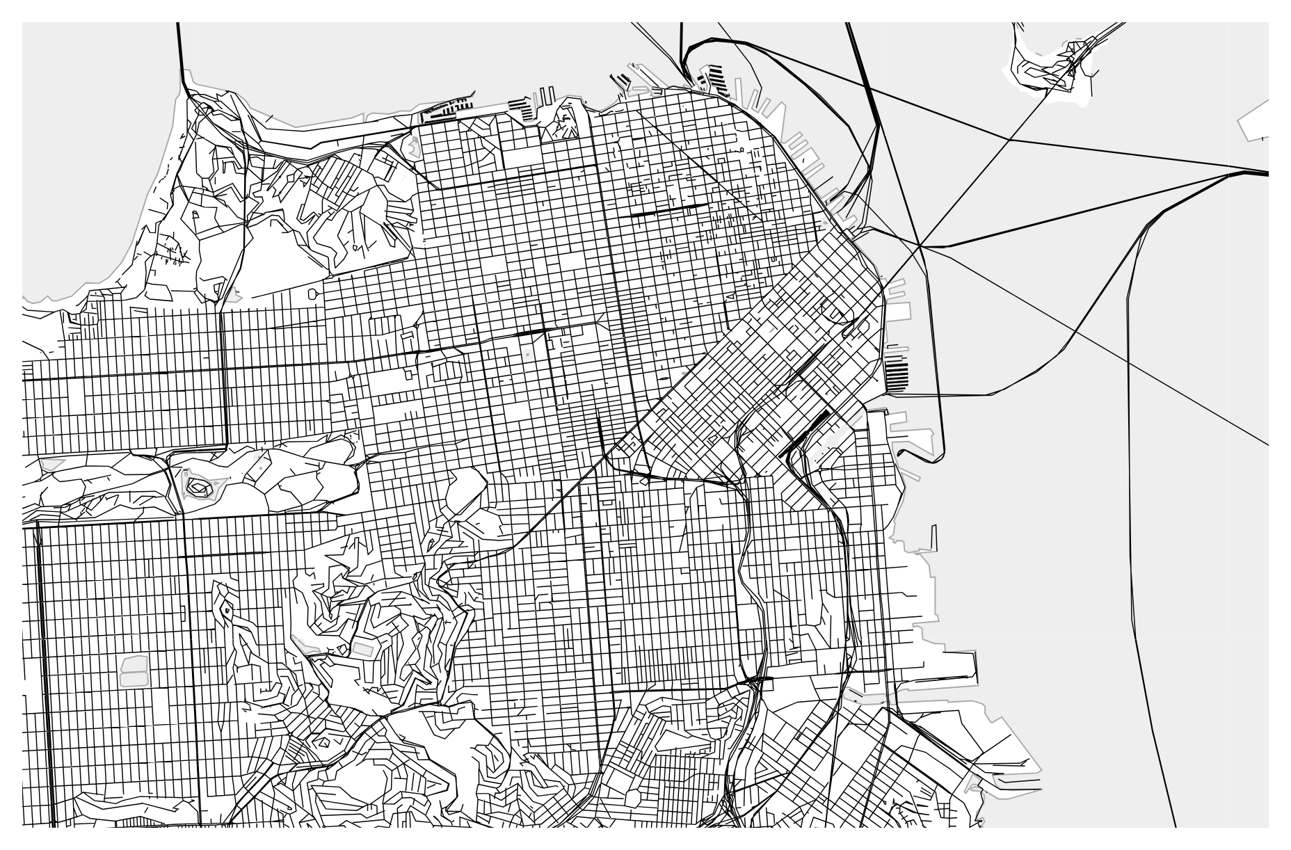
Vector tiles are a modern approach to digital mapping, providing lightweight and versatile representations of geographic data. Unlike raster tiles, which are static images, vector tiles contain geometric and attribute data encoded in a compact format. This allows for dynamic rendering of maps on web and mobile applications, with crisp graphics and smooth interactivity. Vector tiles offer flexibility in styling and customization, enabling developers to create visually appealing and responsive maps that adapt to different screen sizes and user interactions. Additionally, vector tiles facilitate efficient data transfer and rendering, making them ideal for displaying detailed maps with complex features like roads, buildings, and terrain.
Purpose :
Only logged in customers who have purchased this product may leave a review.
Related products
-
- Sale!
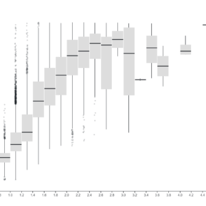
Box plot
- Original price was: $ 15.$ 10Current price is: $ 10.
- Add to cart
-
- Sale!
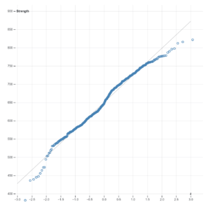
Normal Quantile Plot
- Original price was: $ 15.$ 10Current price is: $ 10.
- Add to cart
-
- Sale!
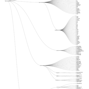
Clustre Dendogram
- Original price was: $ 15.$ 10Current price is: $ 10.
- Add to cart
Reviews
There are no reviews yet.