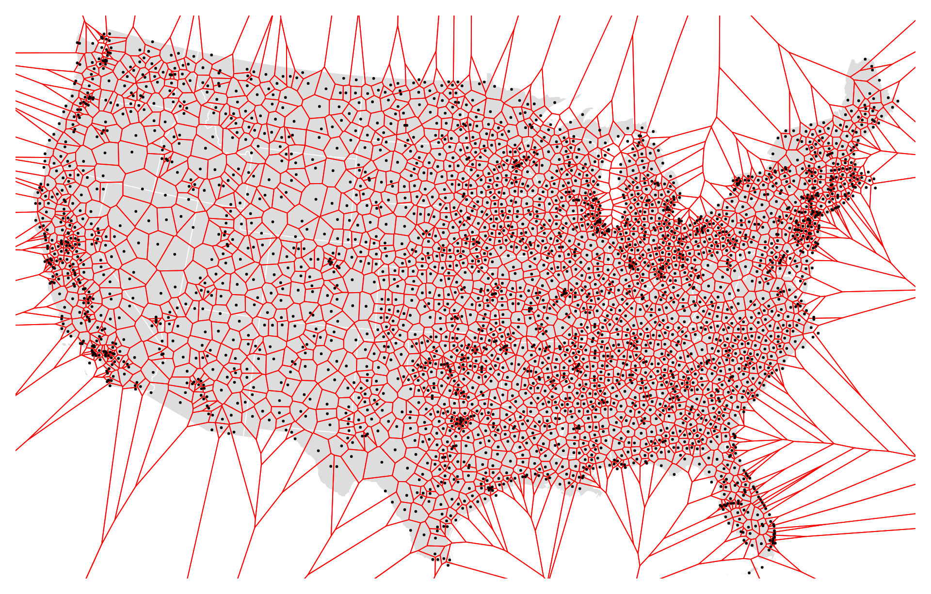
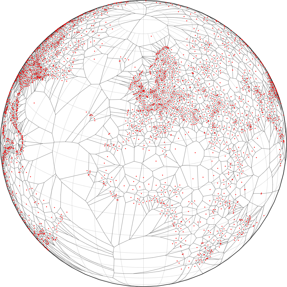
The uses of a world airport Voronoi diagram are diverse and play crucial roles in global aviation operations, airspace management, and infrastructure planning. Here are some specific uses:
- Flight Planning: Pilots and flight planners use world airport Voronoi diagrams to identify the nearest airports along flight routes. By determining which airports fall within the Voronoi cell corresponding to their current location or planned route, pilots can make informed decisions about diversion options, emergency landings, and fuel management.
- Air Traffic Control (ATC): Air traffic controllers utilize world airport Voronoi diagrams to optimize airspace management and coordinate air traffic flow. By partitioning the airspace into Voronoi cells based on airport proximity, controllers can efficiently allocate resources, assign arrival and departure routes, and ensure safe separation between aircraft.
- Emergency Response: In the event of aviation emergencies or distress situations, world airport Voronoi diagrams serve as valuable tools for emergency responders. These diagrams help identify the nearest airports with suitable facilities for emergency landings or medical evacuations, enabling prompt response and assistance to aircraft in distress.
- Aviation Infrastructure Planning: Aviation authorities and airport operators use world airport Voronoi diagrams to assess the coverage and accessibility of airports on a global scale. By analyzing these diagrams, stakeholders can identify underserved regions, prioritize infrastructure investments, and plan the development of new airports or expansion of existing facilities.
- Search and Rescue Operations: World airport Voronoi diagrams assist search and rescue teams in planning and coordinating operations to locate and assist distressed aircraft. By identifying the airports within the Voronoi cell corresponding to the incident location, rescue teams can mobilize resources, deploy rescue aircraft, and coordinate evacuation efforts effectively.
- International Airspace Coordination: World airport Voronoi diagrams facilitate airspace coordination and management between neighboring countries and international airspace boundaries. These diagrams help define jurisdictional boundaries, airspace sectors, and coordination procedures, fostering cooperation and collaboration in air traffic management across borders.
- Global Aviation Safety: By promoting efficient airspace management and effective air traffic control, world airport Voronoi diagrams contribute to enhancing global aviation safety. These diagrams help minimize airspace congestion, reduce the risk of mid-air collisions, and improve overall safety standards in international aviation operations.
Overall, the uses of world airport Voronoi diagrams encompass various aspects of aviation operations, emergency response, infrastructure planning, and safety enhancement, highlighting their importance in ensuring the efficiency, safety, and sustainability of global air transportation systems.


Reviews
There are no reviews yet.