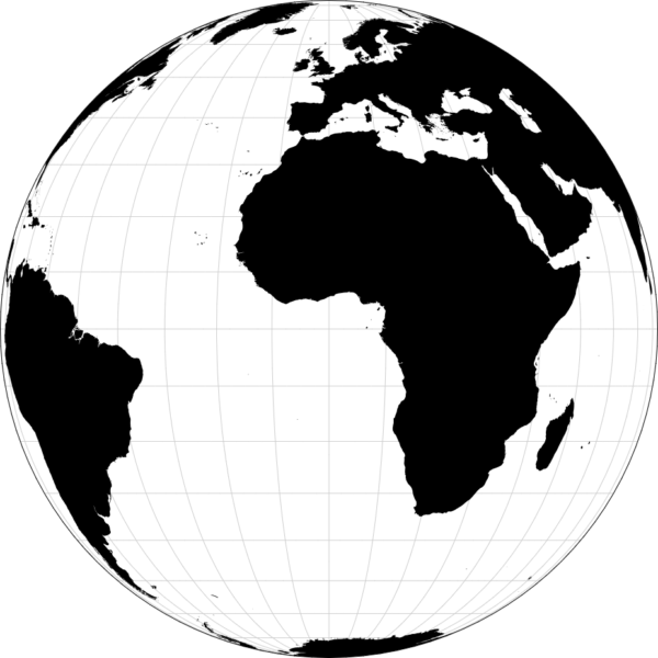
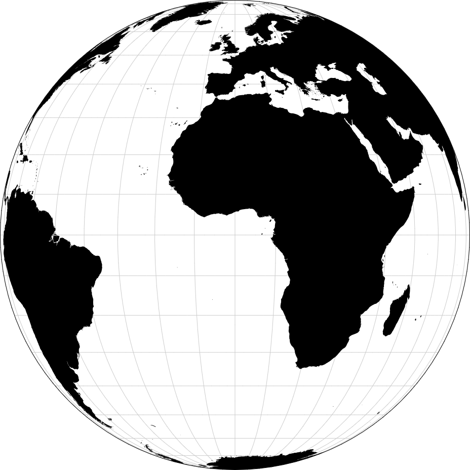
A world map is a visual representation of the Earth’s surface, showing the continents, countries, bodies of water, and other geographical features. It provides a comprehensive overview of the planet’s landmasses and helps to understand spatial relationships, navigate global geography, and study patterns of human settlement and natural phenomena.
Purpose :
Geographic Reference: A world map provides a visual representation of the Earth’s surface, helping individuals understand the layout of continents, oceans, and major geographic features.
Navigation: World maps are essential tools for navigation, aiding travelers, sailors, pilots, and adventurers in planning routes and understanding the spatial relationships between different locations.
Education: World maps are used in educational settings to teach students about geography, cartography, and global studies. They help students learn about countries, capitals, continents, oceans, and other geographic features.
Cultural Understanding: World maps facilitate the exploration of cultural diversity by depicting the distribution of languages, religions, and ethnic groups. They help individuals learn about different cultures and societies across continents.
Political Analysis: World maps depict political boundaries, such as national borders and territories, providing insights into the global political landscape. They help individuals understand geopolitical relationships, conflicts, and alliances.
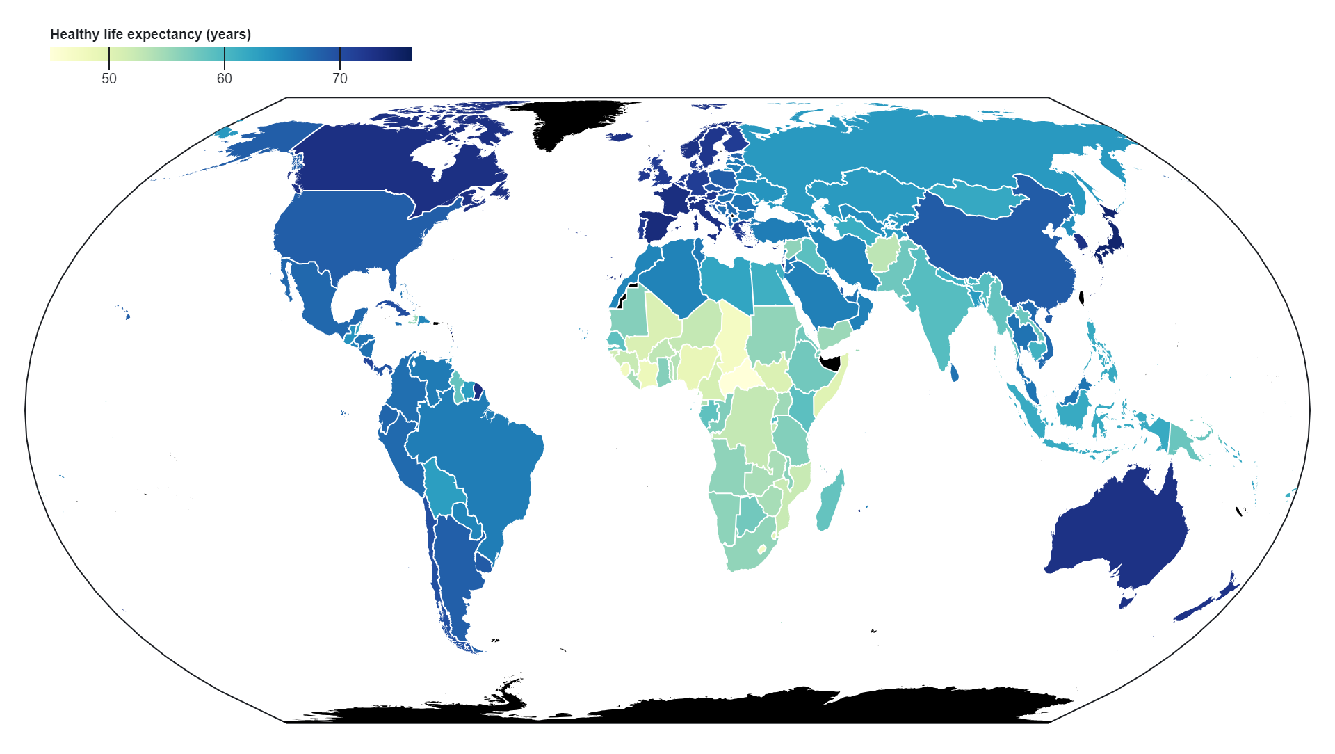
Global Analysis: World maps are used for global analysis across various disciplines, including economics, sociology, environmental science, and public health. They help researchers and policymakers analyze global trends, patterns, and disparities in areas such as economic development, population distribution, environmental change, and health outcomes.
Communication: World maps are powerful tools for communicating information visually. They are used in media, presentations, reports, and other forms of communication to illustrate global issues, trends, and events.
Strategic Planning: World maps are used in strategic planning by businesses, governments, and organizations to analyze global markets, identify opportunities and risks, and plan international operations. They help decision-makers understand the geographic context of their activities and make informed strategic decisions.
Environmental Conservation: World maps are used in environmental conservation efforts to identify areas of ecological significance, biodiversity hotspots, and threats to the environment. They help conservationists prioritize conservation actions and plan strategies for protecting natural resources and ecosystems on a global scale.
Personal Exploration: World maps can be used for personal exploration and enjoyment. They allow individuals to visualize the world, learn about different countries and cultures, and satisfy their curiosity about the world’s diverse landscapes and environments.
Uses :
Geographic Reference: A world map provides a visual representation of the Earth’s surface, helping individuals understand the layout of continents, oceans, and major geographic features.
Navigation: World maps are essential tools for navigation, aiding travelers, sailors, pilots, and adventurers in planning routes and understanding the spatial relationships between different locations.
Education: World maps are used in educational settings to teach students about geography, cartography, and global studies. They help students learn about countries, capitals, continents, oceans, and other geographic features.
Cultural Understanding: World maps facilitate the exploration of cultural diversity by depicting the distribution of languages, religions, and ethnic groups. They help individuals learn about different cultures and societies across continents.
Political Analysis: World maps depict political boundaries, such as national borders and territories, providing insights into the global political landscape. They help individuals understand geopolitical relationships, conflicts, and alliances.
Global Analysis: World maps are used for global analysis across various disciplines, including economics, sociology, environmental science, and public health. They help researchers and policymakers analyze global trends, patterns, and disparities in areas such as economic development, population distribution, environmental change, and health outcomes.
Communication: World maps are powerful tools for communicating information visually. They are used in media, presentations, reports, and other forms of communication to illustrate global issues, trends, and events.
Strategic Planning: World maps are used in strategic planning by businesses, governments, and organizations to analyze global markets, identify opportunities and risks, and plan international operations. They help decision-makers understand the geographic context of their activities and make informed strategic decisions.
Environmental Conservation: World maps are used in environmental conservation efforts to identify areas of ecological significance, biodiversity hotspots, and threats to the environment. They help conservationists prioritize conservation actions and plan strategies for protecting natural resources and ecosystems on a global scale.
Personal Exploration: World maps can be used for personal exploration and enjoyment. They allow individuals to visualize the world, learn about different countries and cultures, and satisfy their curiosity about the world’s diverse landscapes and environments.
Reviews
There are no reviews yet.
Only logged in customers who have purchased this product may leave a review.
Reviews
There are no reviews yet.