Sale!
Description
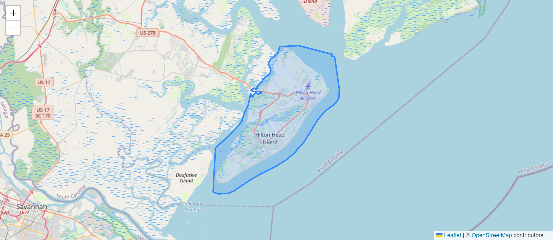
FIPS (Federal Information Processing Standards) County and Place refer to a standardized coding system used to uniquely identify counties and county-equivalent entities (such as independent cities and census-designated places) within the United States and its territories. Each county or county-equivalent entity is assigned a unique FIPS code, facilitating data collection, management, and analysis for various purposes. The FIPS County and Place dataset typically includes information such as county names, state codes, FIPS codes, geographic boundaries, and demographic data.
Uses:
- Data Management: Government agencies and organizations use FIPS codes to manage and organize data related to geographic regions, allowing for efficient data retrieval and analysis.
- Geospatial Analysis: Geographic information systems (GIS) professionals use FIPS codes to perform geospatial analysis, spatial queries, and mapping of county-level data.
- Statistical Reporting: Researchers and analysts use FIPS codes to report statistical data at the county or county-equivalent level, enabling comparisons and aggregations across different geographic areas.
- Economic Analysis: Economists and policymakers use FIPS codes to analyze regional economic trends, disparities, and development patterns across counties and places.
- Demographic Research: Demographers and social scientists use FIPS codes to study population dynamics, migration patterns, and demographic characteristics within specific geographic areas.
- Healthcare Planning: Public health officials use FIPS codes to analyze healthcare access, disease prevalence, and health outcomes at the county level, guiding healthcare planning and resource allocation.
- Education Planning: Educational researchers and policymakers use FIPS codes to analyze educational attainment, school enrollment, and academic performance across different counties and regions.
- Environmental Studies: Environmental scientists use FIPS codes to study environmental indicators, pollution levels, and natural resource management practices at the county level.
- Disaster Response: Emergency management agencies use FIPS codes to coordinate disaster response efforts, assess damage, and allocate resources during natural disasters and emergencies.
- Policy Evaluation: Government agencies and policymakers use FIPS codes to evaluate the effectiveness of policies and programs implemented at the county or regional level, identifying areas for improvement and targeting interventions.
Purposes:
- Standardized Identification: FIPS codes provide a standardized method for identifying and referencing geographic entities, ensuring consistency and interoperability across different data systems and platforms.
- Data Integration: FIPS codes facilitate the integration of disparate datasets from multiple sources, enabling comprehensive analysis and reporting at the county or county-equivalent level.
- Cross-Referencing: FIPS codes allow for cross-referencing of data between different datasets, enabling researchers to link demographic, economic, and other data to specific geographic areas.
- Boundary Definition: FIPS codes define geographic boundaries for counties and county-equivalent entities, providing a framework for spatial analysis and mapping.
- Administrative Planning: Government agencies use FIPS codes for administrative planning, resource allocation, and decision-making at the local, state, and federal levels.
- Data Aggregation: FIPS codes facilitate the aggregation of data from smaller geographic units (such as census tracts or ZIP codes) to larger geographic units (such as counties), enabling analysis at different levels of geographic granularity.
- Policy Formulation: Policymakers use FIPS codes to formulate policies and strategies tailored to the needs and characteristics of specific counties and regions.
- Resource Allocation: FIPS codes inform resource allocation decisions by identifying areas of need, priority, or vulnerability within counties and county-equivalent entities.
- Research Collaboration: Researchers collaborate and share data using FIPS codes as a common reference point, facilitating interdisciplinary research and knowledge exchange.
- Geographic Representation: FIPS codes enable the geographic representation of data through maps, charts, and visualizations, helping stakeholders understand spatial patterns and relationships.
Only logged in customers who have purchased this product may leave a review.


Reviews
There are no reviews yet.